Education
There are four public school boards that provide elementary and secondary education in Toronto, the Conseil scolaire catholique MonAvenir, the Conseil scolaire Viamonde (CSV), the Toronto Catholic District School Board (TCDSB), and the Toronto District School Board (TDSB). CSV and TDSB are secular public school boards, whereas MonAvenir and TCDSB are separate public school boards. CSV and MonAvenir are French first language school boards, whereas TCDSB and TDSB are English first language school boards.
TDSB operates the most schools among the four Toronto-based school boards, with 451 elementary schools, 105 secondary schools, and five adult learning centres.[262] TCDSB operates 163 elementary schools, 29 secondary schools, three combined institutions, and one adult learning centre. CSV operates 11 elementary schools, and three secondary schools in the city.[263] MonAvenir operates nine elementary schools,[264] and three secondary schools in Toronto.[265]
Five public universities are based in Toronto. Four of these universities are based in downtown Toronto: OCAD, Ryerson, the Université de l’Ontario français, and the University of Toronto. The University of Toronto also operates two satellite campuses, one of which is in the city’s eastern district of Scarborough, while the other is in the neighbouring city of Mississauga. York University is the only Toronto-based university not situated in downtown Toronto, operating a campus in the northwestern portion of North York, and a secondary campus in midtown Toronto. The University of Guelph-Humber is also based in northwestern Toronto, although it is not an independent public university capable of issuing its own degrees. Guelph-Humber is jointly managed by the University of Guelph, based in Guelph, Ontario, and Humber College in Toronto.
There are four diploma and degree granting colleges based in Toronto. These four colleges, Centennial College, George Brown College, Humber College, and Seneca College, operate several campuses throughout the city. The city is also home to a satellite campus of Collège Boréal, a French first language college.
The city is also home to several supplementary schools, seminaries, and vocational schools. Examples of such institutions include The Royal Conservatory of Music, which includes the Glenn Gould School; the Canadian Film Centre, a media training institute founded by filmmaker Norman Jewison; and Tyndale University, a Christian post-secondary institution and Canada’s largest seminary.
The Toronto Public Library[266] consists of 100[267] branches with more than 11 million items in its collection.[268]
Healthcare
Toronto is home to twenty public hospitals, including The Hospital for Sick Children, Mount Sinai Hospital, St. Michael’s Hospital, North York General Hospital, Toronto General Hospital, Toronto Western Hospital, Etobicoke General Hospital, St. Joseph’s Health Centre, Scarborough General Hospital, Birchmount Hospital, Centenary Hospital, Sunnybrook Health Sciences Centre, Centre for Addiction and Mental Health (CAMH), and Princess Margaret Cancer Centre, many of which are affiliated with the University of Toronto Faculty of Medicine.
In 2007, Toronto was reported as having some of the longer average emergency room waiting times in Ontario. Toronto hospitals at the time employed a system of triage to ensure life-threatening injuries receive rapid treatment.[237] After initial screening, initial assessments by physicians were completed within the waiting rooms themselves for greater efficiency, within a median of 1.2 hours. Tests, consultations, and initial treatments were also provided within waiting rooms. 50% of patients waited 4 hours before being transferred from the emergency room to another room.[237] The least-urgent 10% of cases wait over 12 hours.[237] The extended waiting-room times experienced by some patients were attributed to an overall shortage of acute care beds.[237]
Toronto’s Discovery District[238] is a centre of research in biomedicine. It is on a 2.5-square-kilometre (620-acre) research park that is integrated into Toronto’s downtown core. It is also home to the MaRS Discovery District,[239] which was created in 2000 to capitalize on the research and innovation strength of the Province of Ontario. Another institute is the McLaughlin Centre for Molecular Medicine (MCMM).[240]
Specialized hospitals are also outside of the downtown core. These hospitals include the Baycrest Health Sciences geriatric hospital and the Holland Bloorview Kids Rehabilitation Hospital for children with disabilities.
Toronto is also host to a wide variety of health-focused non-profit organizations that work to address specific illnesses for Toronto, Ontario and Canadian residents. Organizations include Crohn’s and Colitis Canada, the Heart and Stroke Foundation of Canada, the Canadian Cancer Society, the Alzheimer Society of Canada, Alzheimer Society of Ontario and Alzheimer Society of Toronto, all located in the same office at Yonge–Eglinton, the Leukemia & Lymphoma Society of Canada, the Canadian Breast Cancer Foundation, the Canadian Foundation for AIDS Research, Cystic Fibrosis Canada, the Canadian Mental Health Association, the ALS Society of Canada, and many others. These organizations work to help people within the Greater Toronto Area, Ontario, or Canada who are affected by these illnesses. Toronto is also home to the Geneva Centre for Autism. As well, most of these organizations engage in fundraising to promote research, services, and public awareness.
Public Spaces
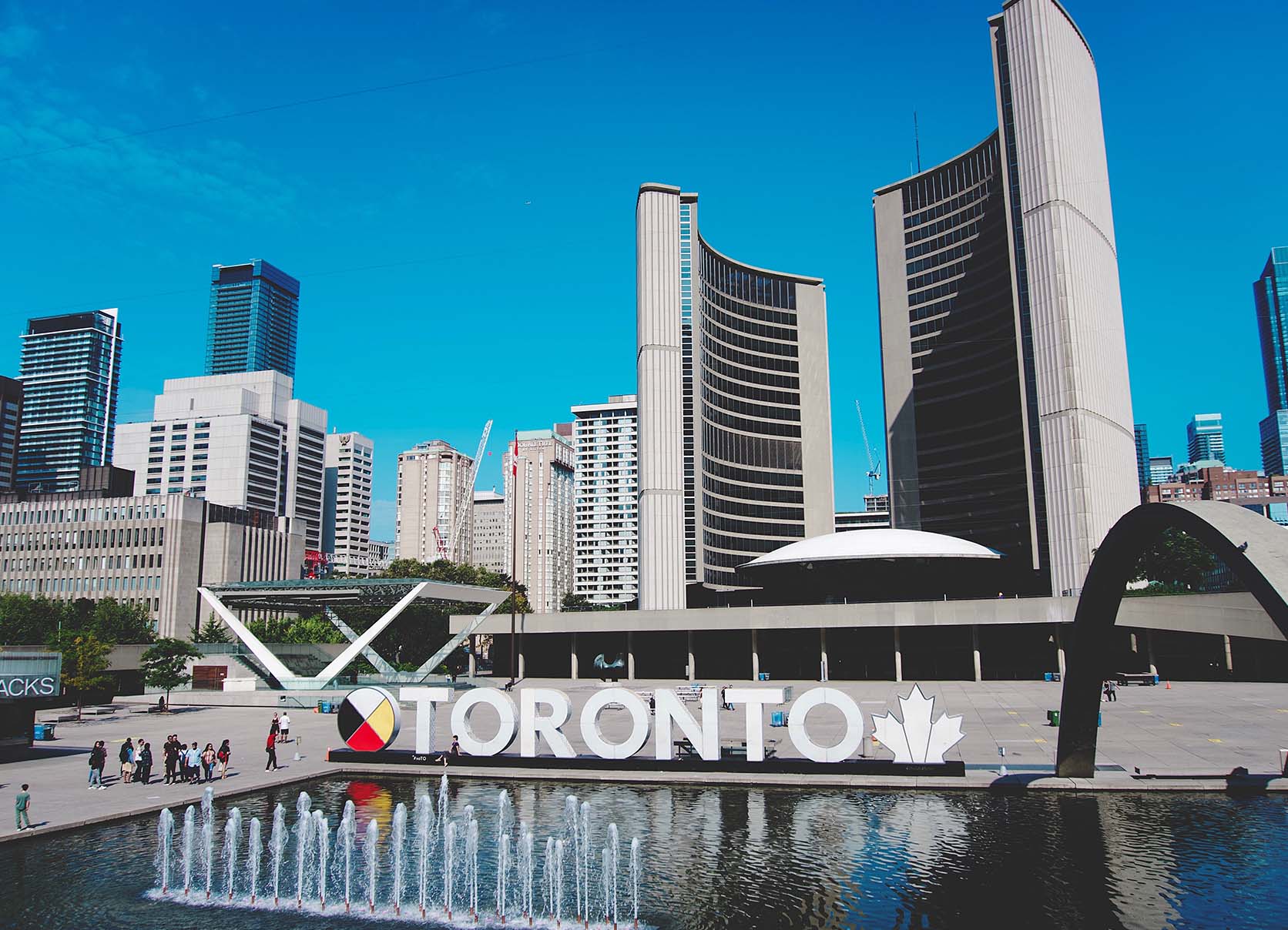
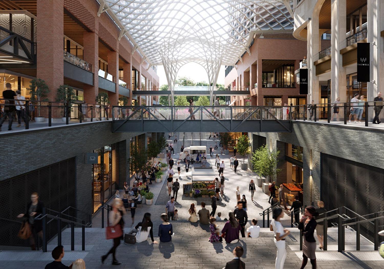
Toronto has a diverse array of public spaces, from city squares to public parks overlooking ravines. Nathan Phillips Square is the city’s main square in downtown, contains the 3D Toronto sign,[190] and forms the entrance to City Hall. Yonge–Dundas Square, near City Hall, has also gained attention in recent years as one of the busiest gathering spots in the city. Other squares include Harbourfront Square, on the Toronto waterfront, and the civic squares at the former city halls of the defunct Metropolitan Toronto, most notably Mel Lastman Square in North York. The Toronto Public Space Committee is an advocacy group concerned with the city’s public spaces. In recent years, Nathan Phillips Square has been refurbished with new facilities, and the central waterfront along Queen’s Quay West has been updated recently with a new street architecture and a new square next to Harbourfront Centre.
In the winter, Nathan Phillips Square, Harbourfront Centre, and Mel Lastman Square feature popular rinks for public ice-skating. Etobicoke’s Colonel Sam Smith Trail opened in 2011 and is Toronto’s first skating trail. Centennial Park and Earl Bales Park offer outdoor skiing and snowboarding slopes with a chairlift, rental facilities, and lessons. Several parks have marked cross-country skiing trails.
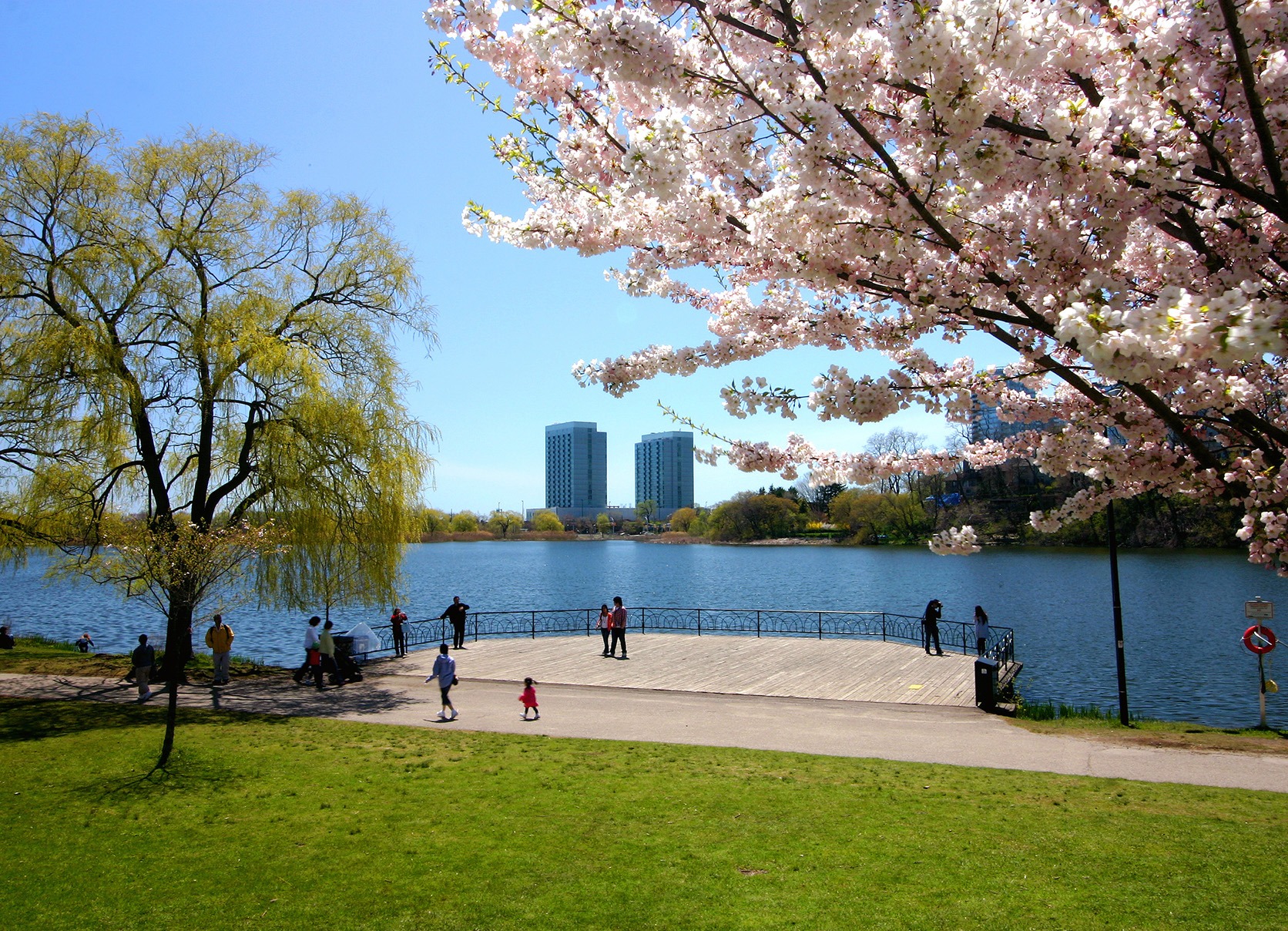
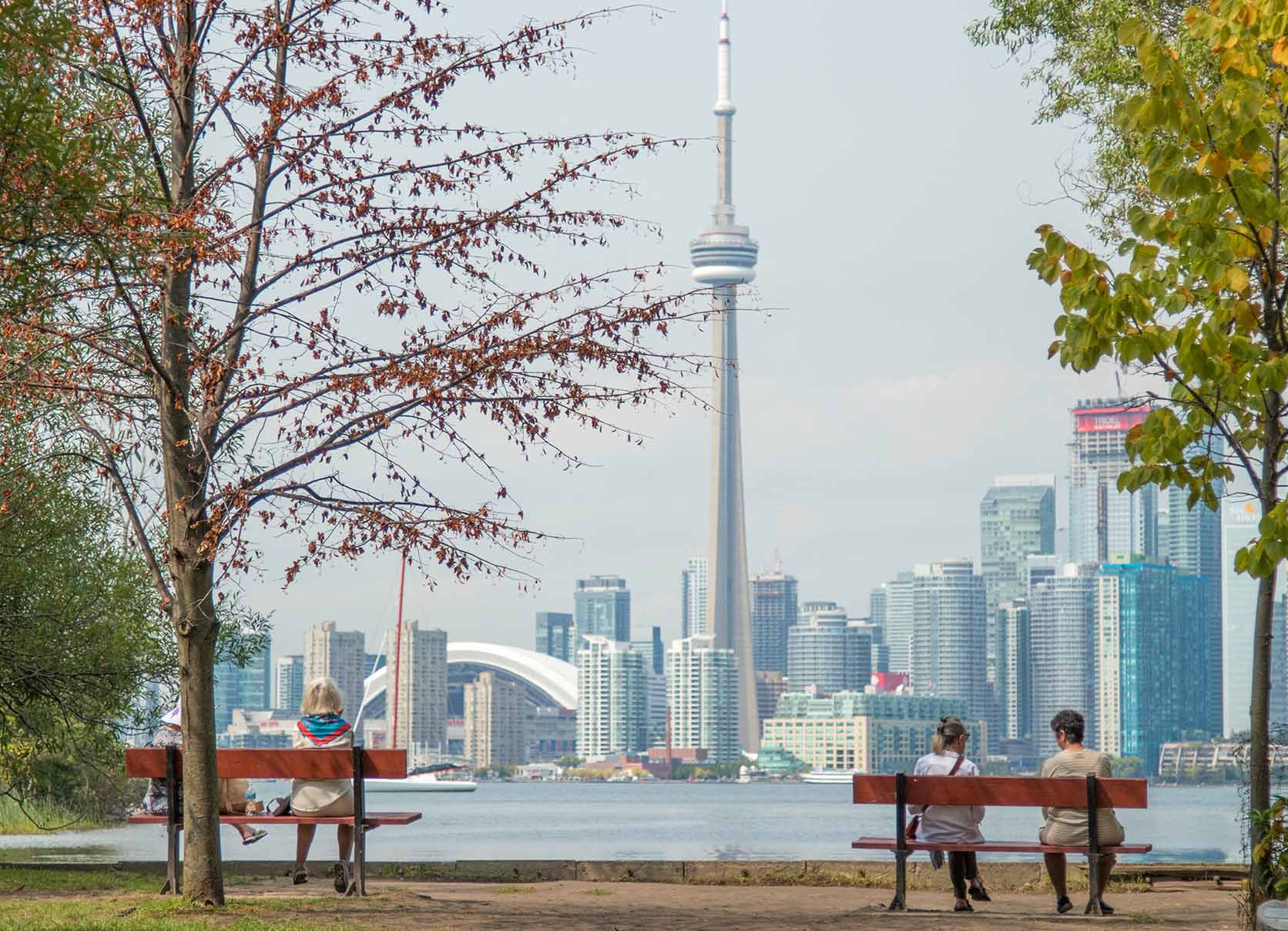
There are many large downtown parks, which include Allan Gardens, Christie Pits, Grange Park, Little Norway Park, Moss Park, Queen’s Park, Riverdale Park and Trinity Bellwoods Park. An almost hidden park is the compact Cloud Gardens,[191] which has both open areas and a glassed-in greenhouse, near Queen and Yonge. South of downtown are two large parks on the waterfront: Tommy Thompson Park on the Leslie Street Spit, which has a nature preserve, is open on weekends; and the Toronto Islands, accessible from downtown by ferry.
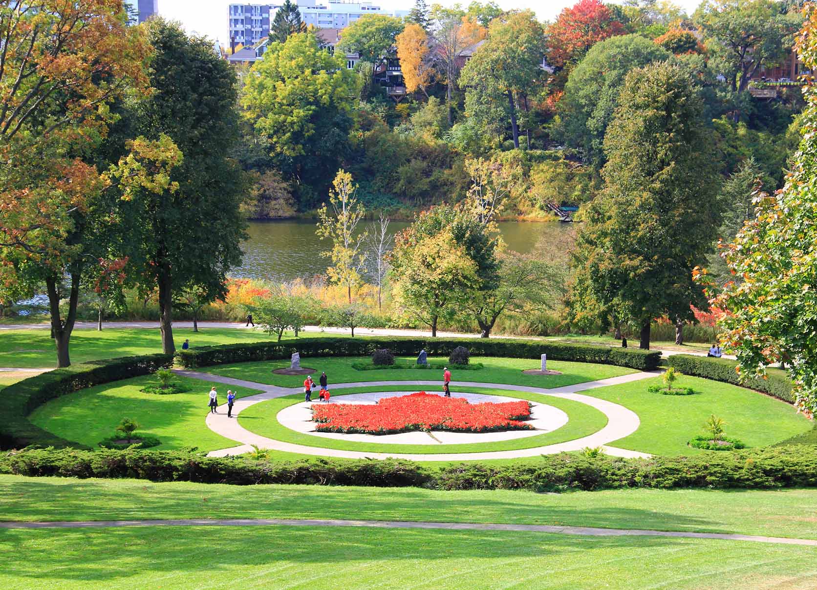
Large parks in the outer areas managed by the city include High Park, Humber Bay Park, Centennial Park, Downsview Park, Guild Park and Gardens, Sunnybrook Park and Morningside Park.[192] Toronto also operates several public golf courses. Most ravine lands and river bank floodplains in Toronto are public parklands. After Hurricane Hazel in 1954, construction of buildings on floodplains was outlawed, and private lands were bought for conservation. In 1999, Downsview Park, a former military base in North York, initiated an international design competition to realize its vision of creating Canada’s first urban park. The winner, “Tree City”, was announced in May 2000. Approximately 8,000 hectares (20,000 acres), or 12.5 percent of Toronto’s land base is maintained parkland.[193] Morningside Park is the largest park managed by the city, which is 241.46 hectares (596.7 acres) in size.[193]
In addition to public parks managed by the municipal government, parts of Rouge National Urban Park, the largest urban park in North America, is in the eastern portion of Toronto. Managed by Parks Canada, the national park is centred around the Rouge River and encompasses several municipalities in the Greater Toronto Area.[194]


